ATV TRAILS
MONTANAATV Trails in Montana
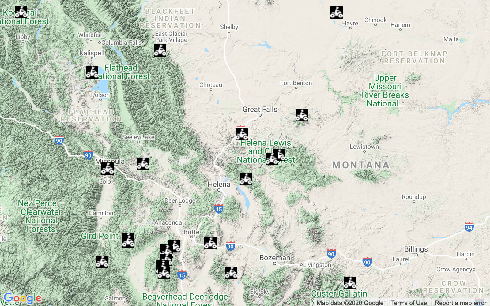
Looking for the best ATV and UTV riding areas in Montana? Big Sky Country is packed with beautifully diverse terrain that includes bonus opportunities for fishing and hunting, as well as ghost towns, waterfalls, and some of the best views around. The Great Western Trail now connects multi-use trails from the Mexican border to West Yellowstone. But don’t wait until this ultimate north-south run is complete to visit Big Sky Country. Here are some of the amazing rides you will find in Montana, the “Last Best Place.”
Best ATV Trails in Montana
Ashley Lake ATV Trail
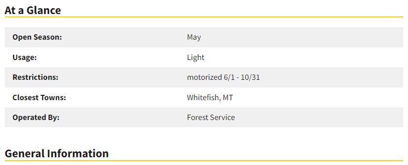
Just west of Kalispell, this trail is between May and October, and it gets pretty packed in the summertime. The trail is actually just north of the lake and comprises 7 miles of picturesque and ideal terrain for ATVs. The trailhead is marked with signs, and is open to a variety of off-road vehicles.
You can find the Forest Service-operated trail just a short distance from Ashley Lake, although it is closed during big game hunting season.
Overwhich Falls Trails
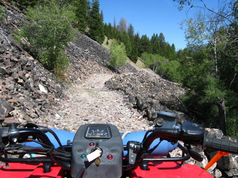
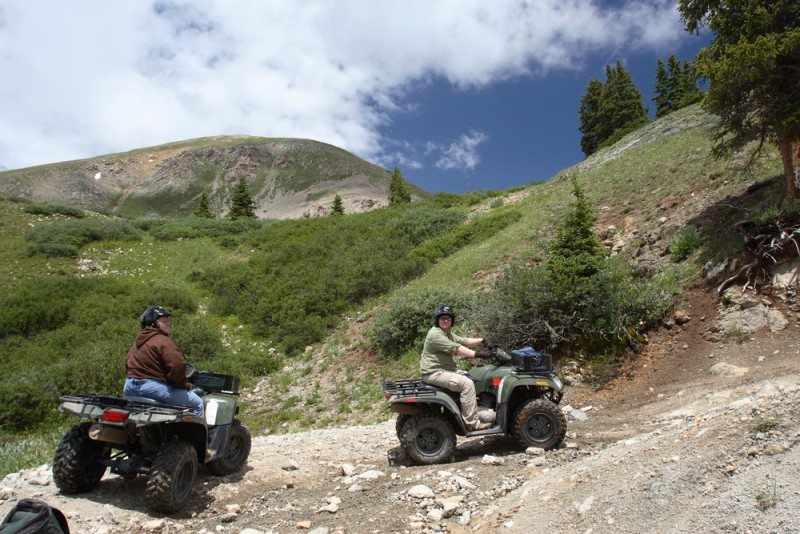
This trail comprises a scenic 8-mile to Overwhich Falls. It is a fairly easy ride with the odd steep, rocky section. There may also be a few encounters with horses, hikers, and mountain bikers along the way, as well as some impressive scenery. You can find the trail just over 4 miles south of Darby, past Painted Rocks Lake.
Railroad Creek Loop
Directions – Approximately 3 miles south of Hamilton on Hwy 93, turn east on Skalkaho Hwy #38, travel approximately 13 miles. Turn right (southeast) on Skalkaho-Rye Road #75, you can park in the dispersed camping area, just across the bridge.
Trail Information – From the parking area, ride up Road #75 for 2 miles. Turn left (east) on Railroad Creek Road #711. Follow for about 12 mile, with the first half being uphill with switchbacks.
This road has many spur roads, so stay on the main dirt road. The last part is downhill and will take you back to Skalkaho Hwy #38, which is paved. Turn left (west) and ride about 5 miles down to the SkalkahoRye Rd. #75. Turn left to return to your vehicle. Total trail length is 19 miles.
Blacktail Wild Bill
The Blacktail Wild Bill trail system is close to Montana’s Lakeside and is an open stretch of forest with gravel, hardpack, and soft soil segments. The area is open for many other purposes such as hiking, biking, and horseback riding, so it can get quite busy.
There are various obstacles around the trail as well as some impressive views of nearby lakes, and the best time to head up to this place is during the Spring, Summer, and Fall months.
The 10 mile Blacktail Wild Bill ORV trail system has three legs. One begins off of Blacktail Mt. Road on Road #917a and intersects with the other two trails which begin off of Truman Creek Rd #213 and from the trailhead on Road #2990. The trail is open for the following uses: 3 or 4 wheeled vehicles, 2 wheeled vehicles, mountain biking, horseback riding, and hiking.

Directions:
There are three trailheads to access the Blacktail OHV system.
Start for Trail #917: From Hwy 93 near Lakeside, turn west onto Blacktail Rd (after turning, turn left immediately– before the hardware store). Continue up Blacktail Rd which turns into Forest Service Rd #917 for about 12 miles. The trailhead is on the left.
Start for Trail #918: This trail can be accessed from the north off of Hwy 2 or from Lakeside. Please consult map for directions.
Start for Trail #919: From Hwy 2, turn onto Kila Rd for about 1.8 miles- going through Kila, turn left onto Smith Lake Rd (2/10mile), turn right onto Browns Meadow Rd (1 mile), turn left onto Truman Creek Rd (2.3 miles), turn right onto Wild Bill Rd after the pavement ends, continue up this road about 2.7 miles, and turn left down a seemingly private driveway for 1/10 of a mile, the trailhead is on the right. There is wooden three rail fencing on the left side of the drive. If you pass a road on the left (#9662) with an open field on the right, you’ve gone just a little too far.
Hungry Horse Motocross Track
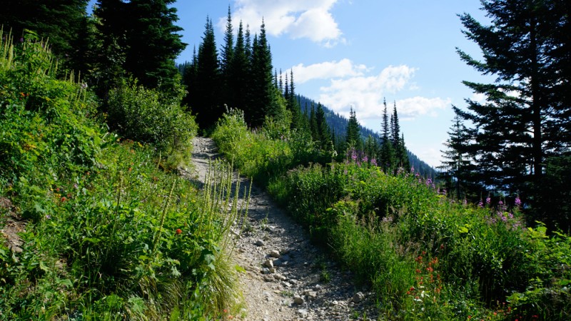
Hungry Horse is a track of natural terrain to the east of Columbia Falls. This steep track can be fairly challenging by way of its elevation gains. The track is about half a mile down from Colorado Boulevard near the Forest Service Station, and you’ll find campsites and all other manner of outdoor adventures going on around the trail.
The track has been established since 1980, is open all year, and charges no fees. All good!
